
Active Transport Network
Wyndham City wants to make it easy and safe for our residents to get from A to B. We’re improving our network for people who want to walk and ride and providing better access for people using wheelcha
- Other
Wyndham City wants to make it easy and safe for our residents to get from A to B. We’re improving our network for people who want to walk and ride and providing better access for people using wheelcha
Truganina residents are in for a treat as a brand new off-leash dog park is set to become a favourite destination for both pups and their owners.
The Alfred Road Reserve Master Plan will guide the potential future development of the reserve. A range of open space facilities are proposed to create a space where people can engage in healthy activity and come together as a community.
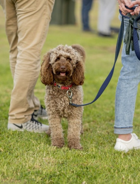
Hoppers Crossing residents are in for a treat as a brand new off-leash dog park is set to become a favourite destination for both pups and their owners.
The online collaboration platform allows council, utilities, telecommunications providers and transport authorities to share project information well in advance of the works being undertaken.
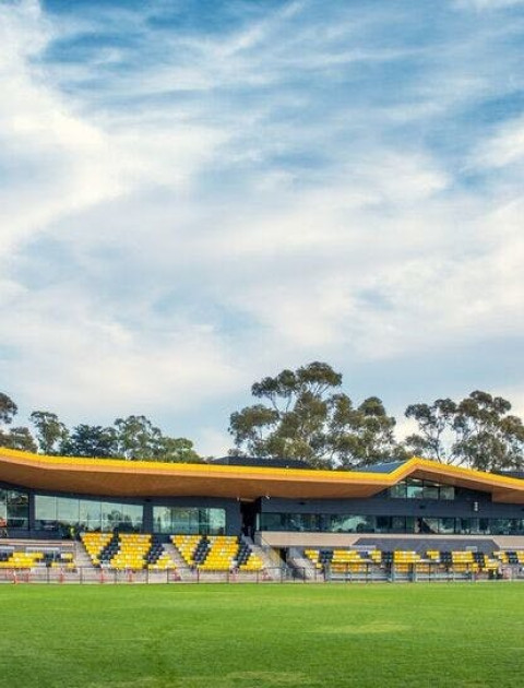
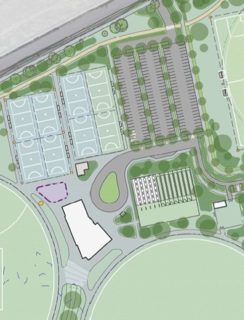
Wyndham City will upgrade Chirnside Park in Werribee following the adoption of a Master Plan that outlines a vision for the sporting and open space precinct over the next decade.

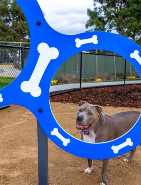
Wyndham City is creating a new dog off-leash park at Citybay Drive Reserve in Point Cook.

Wyndham City Council and the Australian Government are partnering to expand CityLens such that any city can utilise the same tool.
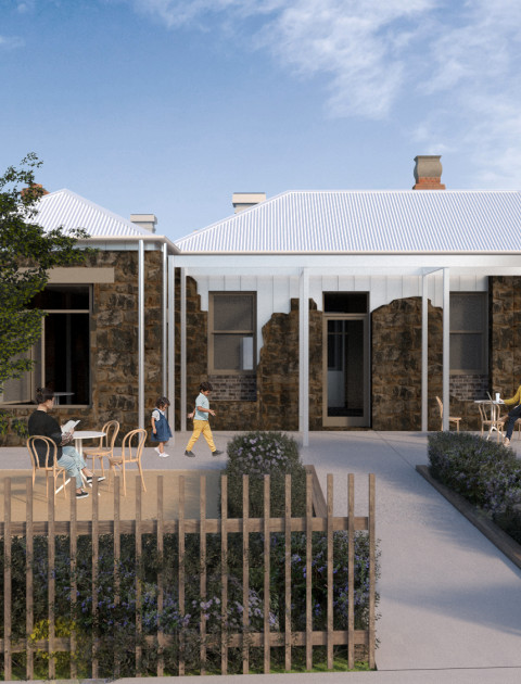
Doherty’s House will be transformed into a vibrant 50-seat café with a landscaped outdoor dining area and fenced garden, with the design paying homage to the site’s history.
The Dohertys Road duplication involves expanding Dohertys Road to two lanes in each direction between Tarneit Road and Sapling Boulevard, two traffic light upgrades and more.
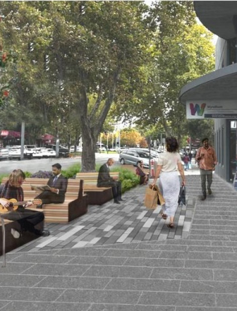
We’re transforming Duncans Road (Watton Street to Synnot Street) into a safer, greener, more vibrant gateway to Werribee’s City Centre.
Beginning in late 2016 and completed by early 2017, Wyndham City operational vehicles were fitted with GPS tracking devices.